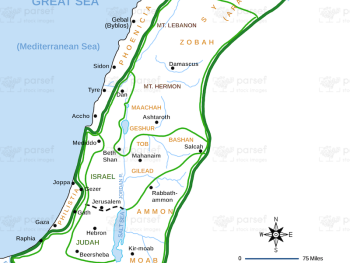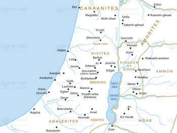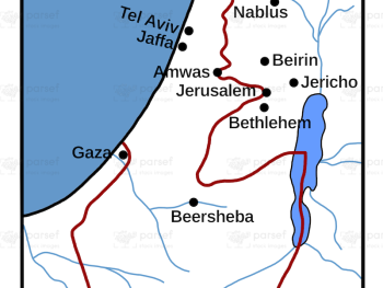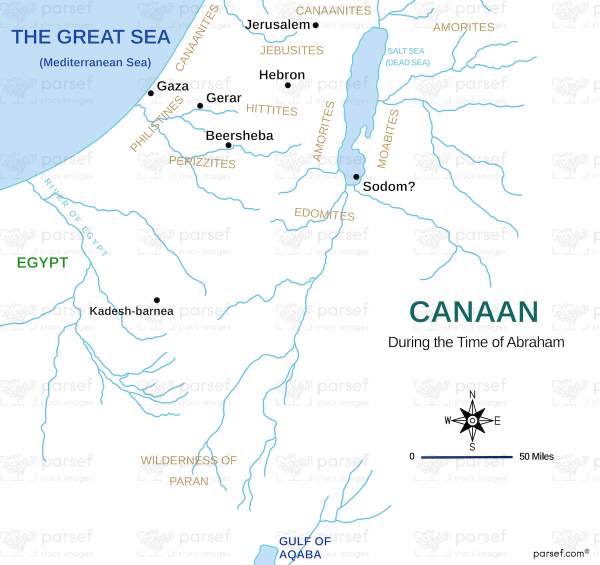
Canaan During the Time of Abraham Map
- This map depicts the geographical landscape of Canaan during Abraham's lifetime, highlighting key locations and regions mentioned in the biblical narrative.
- It provides a visual understanding of the environment in which Abraham and his descendants lived, traveled, and interacted with other peoples.
- The map may include features such as major cities, rivers, and the territories of neighboring tribes.
Download High Resolution 300 DPI File Canaan During the Time of Abraham Map