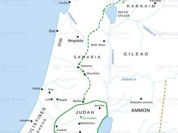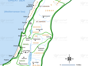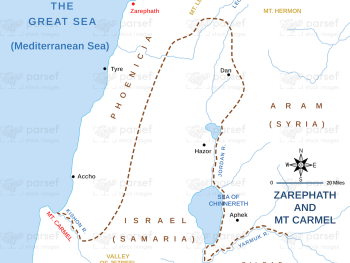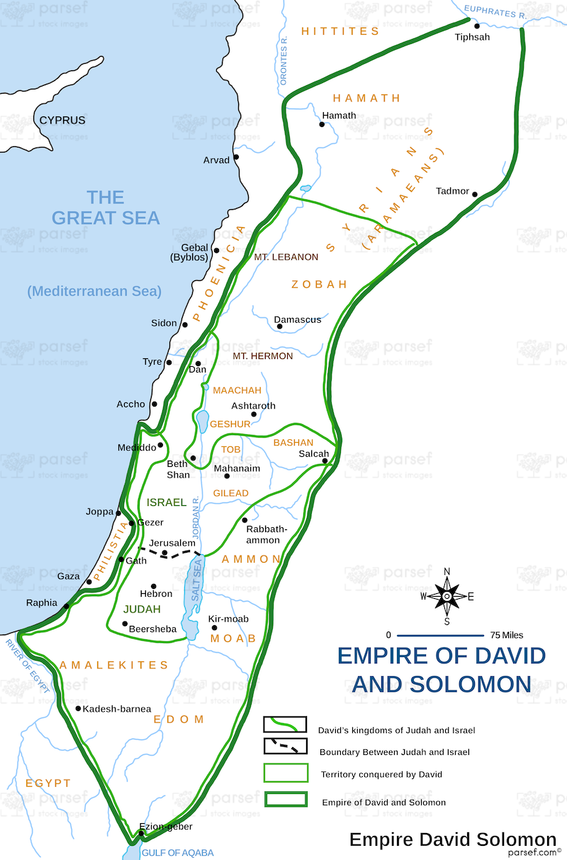
David and Solomon’s Empire Map
- This map illustrates the extent of the united kingdom of Israel under the reigns of Kings David and Solomon, showcasing the peak of Israelite power and influence.
- It depicts the territorial expansion achieved through military conquests and diplomatic alliances, highlighting the empire's reach and dominance in the region.
- The map may include conquered territories, vassal states, and important trade routes that connected the empire to other parts of the ancient world.
Download High Resolution 300 DPI File David and Solomon’s Empire Map