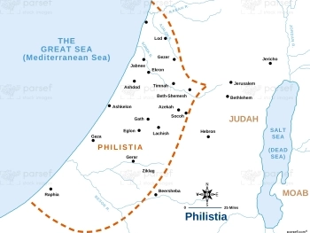
Deuteronomy Island of Caphtor Map
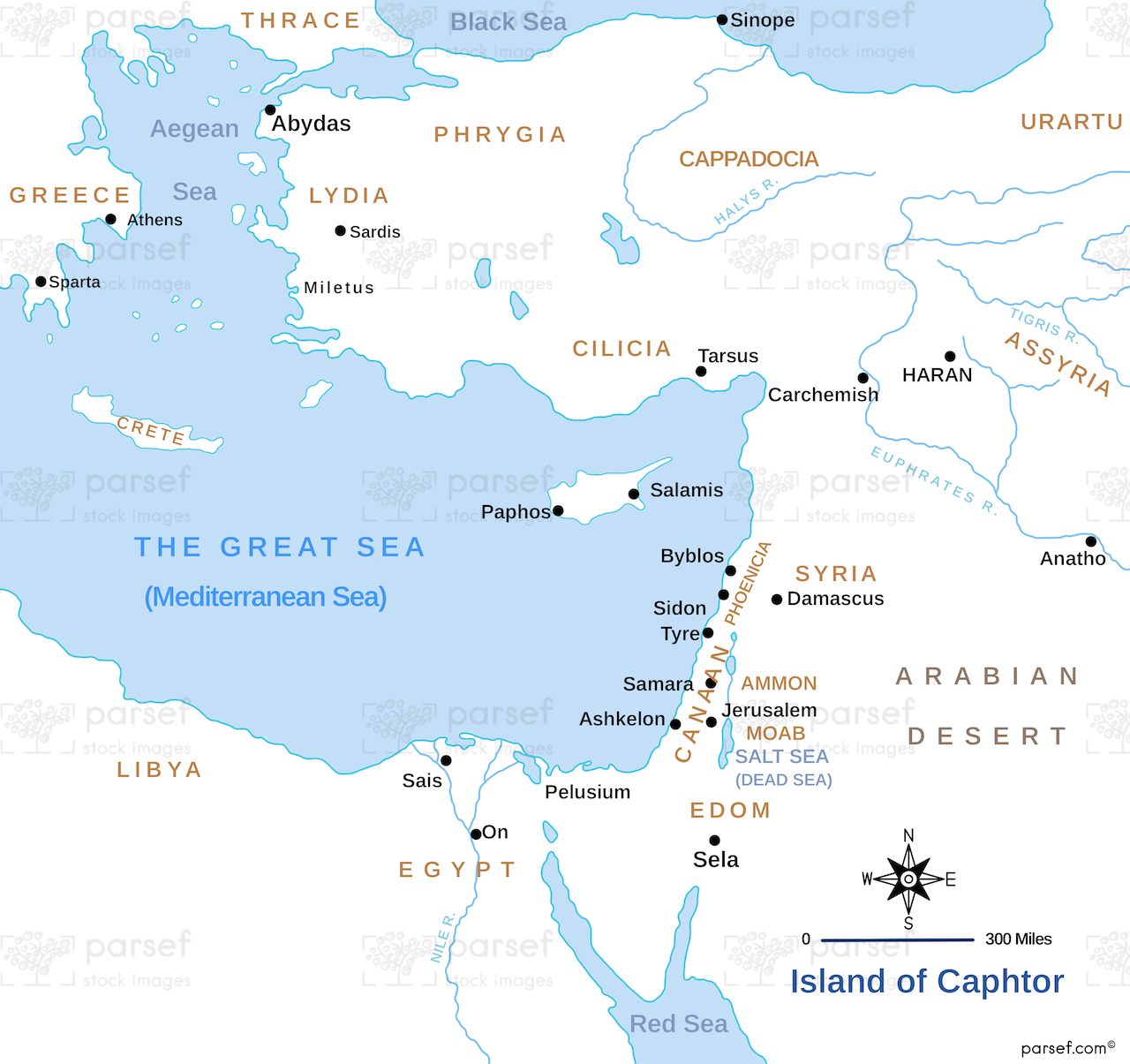
- This map focuses on the island of Crete, which is identified as Caphtor in the Book of Deuteronomy.
- It provides a geographical perspective on the origins of the Philistines, who are believed to have migrated from Crete to the southern coast of Canaan.
- The map may highlight key sites and features on the island of Crete.
Download High Resolution 300 DPI File Deuteronomy Island of Caphtor Map