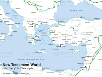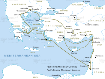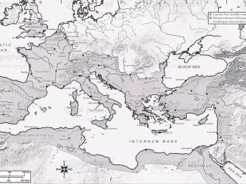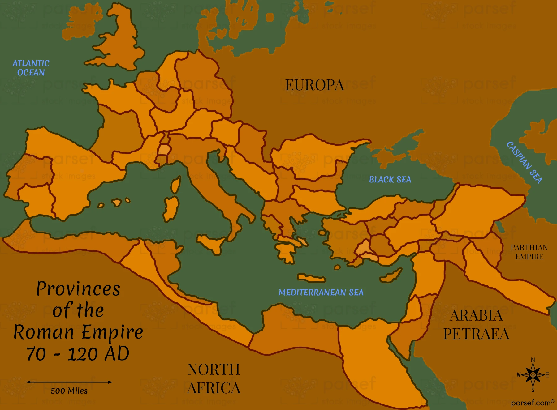

Provinces of the Roman Empire 70 – 120 AD Map: Depicting the provinces of the Roman Empire between 70 and 120 AD, this map shows their boundaries and key cities. It provides a snapshot of the administrative divisions during this period.
Download High Resolution 300 DPI File Provinces of the Roman Empire 70 – 120 AD Map