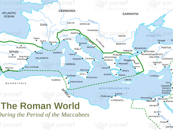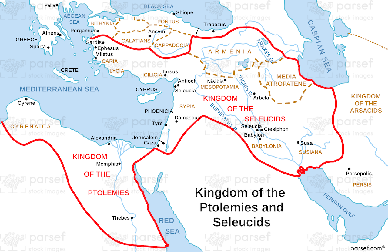
Daniel’s Kingdom of Ptolomies and Seleucids Map
- This map illustrates the division of Alexander the Great's empire after his death, focusing on the Hellenistic kingdoms of the Ptolemies in Egypt and the Seleucids in Syria.
- It highlights the geopolitical context of the Book of Daniel, where these two kingdoms played significant roles in the lives of the Jewish people.
- The map may show the boundaries of these kingdoms, key cities, and potential areas of conflict or influence.
Download High Resolution 300 DPI File Daniel’s Kingdom of Ptolomies and Seleucids Map