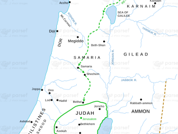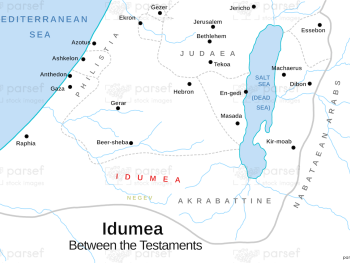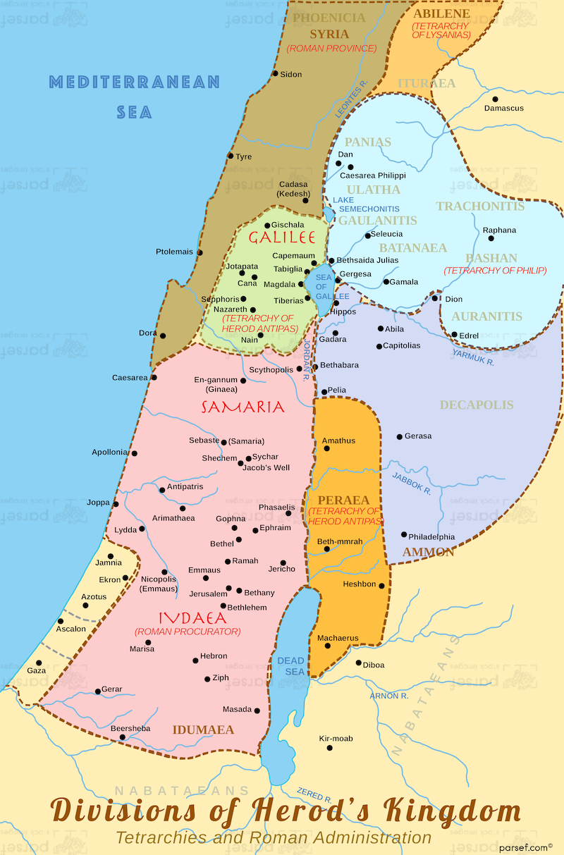
Divisions of Herod’s Kingdom Map
- This map illustrates the territorial divisions of Herod the Great's kingdom, highlighting the various regions and provinces under his rule.
- It provides a geographical understanding of the political landscape of Judea during the time of Jesus.
- The map may identify key cities, regions, and administrative centers within Herod's kingdom.
Download High Resolution 300 DPI File Divisions of Herod’s Kingdom Map