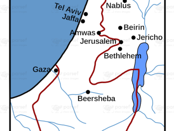
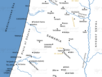
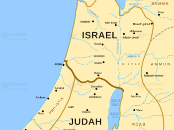
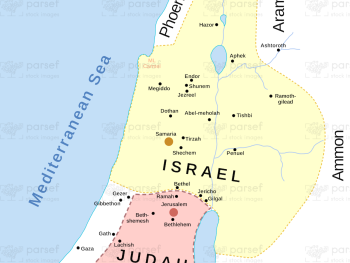
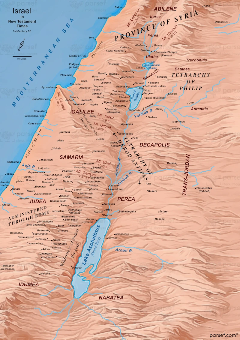
Israel in New Testament Times – 1st Century CE – Topo Color Map – 300Dpi


Related Maps

The Khabur River Map image
Read More

The Khabur River Map

The Khabur River Map: Focused on the Khabur River region, this map highlights its course and the surrounding settlements. It...
Read More

Exodus Mount Horeb Map image
Read More

Exodus Mount Horeb Map

Exodus Mount Horeb Map: This map shows the route to Mount Horeb (Sinai) during the Exodus, highlighting key locations and...
Read More

Roman World Maccabees Map image
Read More

Roman World Maccabees Map

Roman World Maccabees Map: This map depicts the Roman Empire during the Maccabean period, showing key locations and events. It...
Read More

David’s Kingdom Map image
Read More

David’s Kingdom Map

David’s Kingdom Map This map illustrates the territorial extent of the kingdom of Israel under the reign of King David. It showcases...
Read More

Israel and Syria Map image
Read More

Israel and Syria Map

Israel and Syria Map: This map illustrates the regions of Israel and Syria, highlighting their boundaries and significant cities. It...
Read More

I Samuel Shiloh Map image
Read More

I Samuel Shiloh Map

I Samuel Shiloh Map: Focused on the city of Shiloh as described in 1 Samuel, this map highlights its location...
Read More