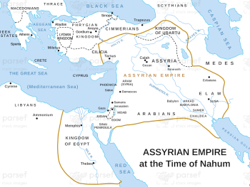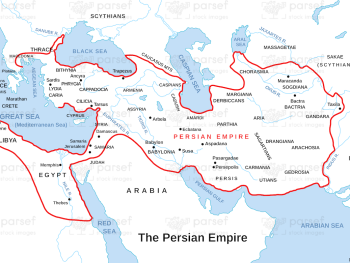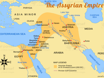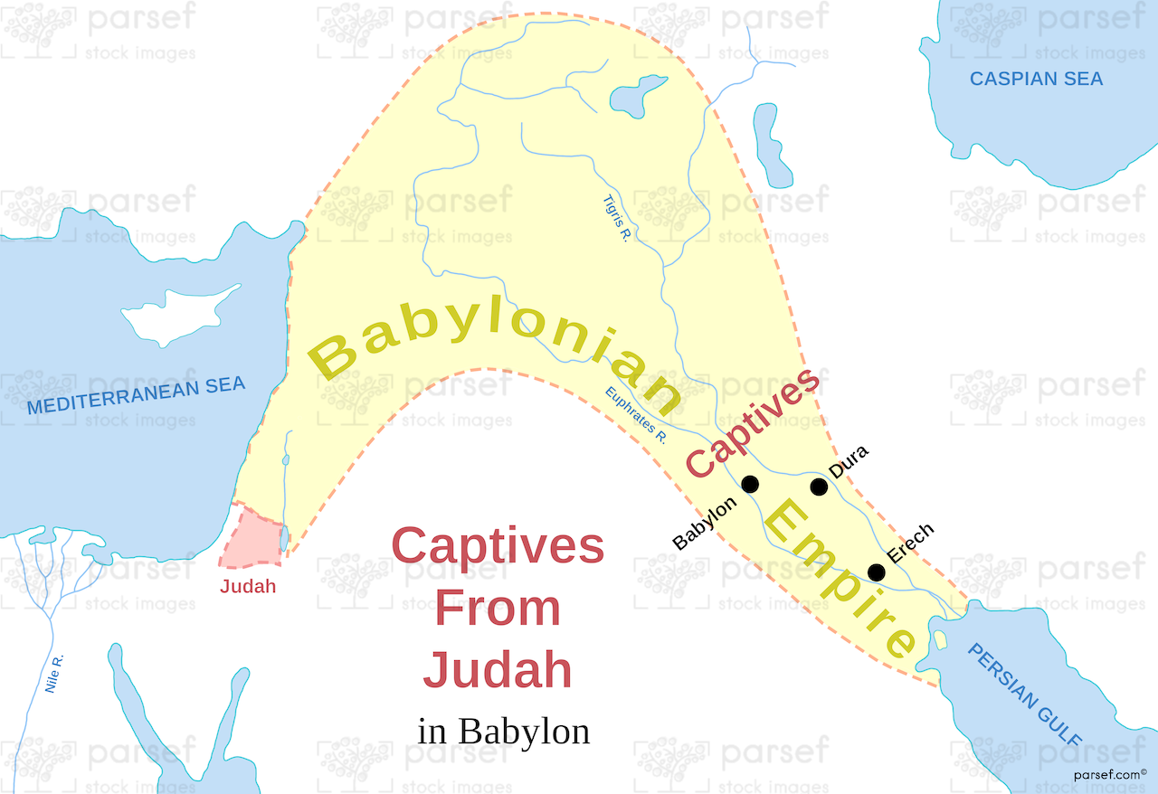
Captives From Judah in Babylon Map
- This map illustrates the journey of the Jewish people from the Kingdom of Judah to Babylon during the Babylonian Exile, highlighting the geographical distance and the hardships faced by the captives.
- It may depict the route taken by the exiles, showcasing key cities and geographical landmarks along the way, such as Jerusalem, Babylon, and potentially significant stopping points.
- The map can provide a visual understanding of the historical context of the Babylonian Exile, emphasizing the geographical separation of the Jewish people from their homeland and the challenges they faced during their captivity.
Download High Resolution 300 DPI File Captives From Judah in Babylon Map