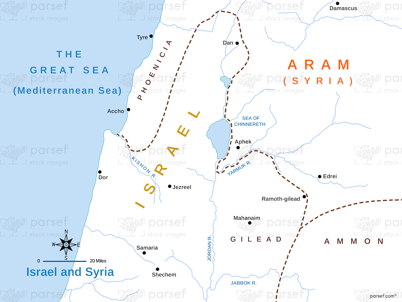
Israel and Syria Map: This map illustrates the regions of Israel and Syria, highlighting their boundaries and significant cities. It provides a geographical context for the historical interactions between these neighboring regions.

Israel and Syria Map: This map illustrates the regions of Israel and Syria, highlighting their boundaries and significant cities. It provides a geographical context for the historical interactions between these neighboring regions.
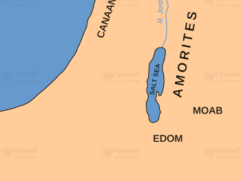
Amorites Territory Map: This map shows the territory of the Amorites, highlighting significant cities and regions. The Amorites are mentioned...
Read More
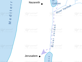
Jesus Journeys to Jerusalem for Passover Map: This map traces the routes taken by Jesus during his journeys to Jerusalem...
Read More
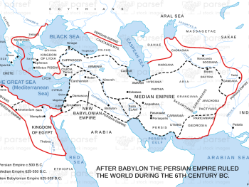
The World During the 6th Century BC Map: Highlighting global civilizations and empires during the 6th century BC, this map...
Read More
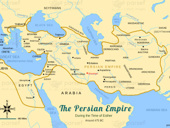
Persian Empire around 475 BC Map: Depicting the Persian Empire around 475 BC, this map shows its vast territorial extent...
Read More
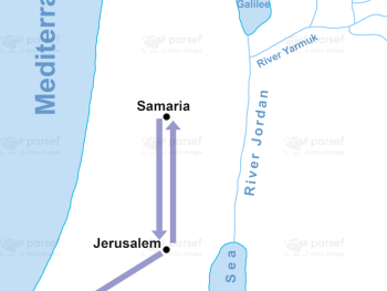
Phillip Journeys to Samaria and Gaza Map: Tracing the journeys of Philip to Samaria and Gaza, this map highlights significant...
Read More
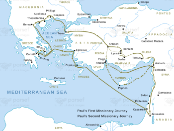
First & Second Journeys of Paul Map: This map traces the routes of Paul’s first and second missionary journeys, highlighting...
Read More
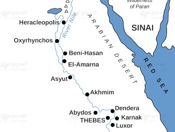
Egypt in Bible Times Map
This map provides a comprehensive overview of the geography of ancient Egypt, highlighting key cities, regions,...
Read More
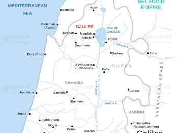
Galilee During Maccabees Map: Highlighting the region of Galilee during the Maccabean period, this map shows key locations and events....
Read More
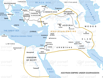
Assyrian Empire Under Esarhaddon Map: This map illustrates the Assyrian Empire during the reign of Esarhaddon, highlighting its territorial extent...
Read More
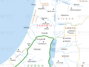
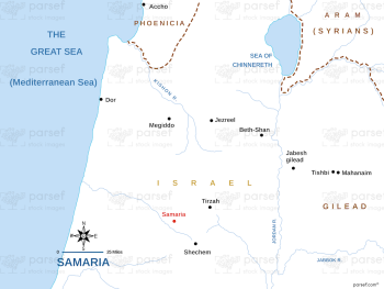
Samaria and Nearby Territories Map: This map illustrates the region of Samaria and its neighboring territories, highlighting significant locations and...
Read More
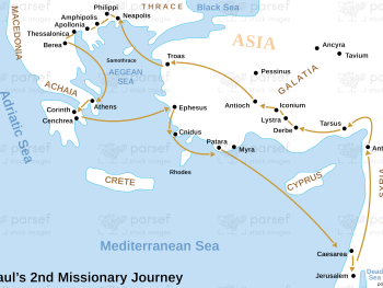
Acts Paul’s Second Missionary Journey Map: Highlighting Paul’s second missionary journey, this map shows the route and significant stops. It...
Read More
Samaria Map: Focused specifically on Samaria, this map details its borders, key cities, and geographical features. It serves as a...
Read More